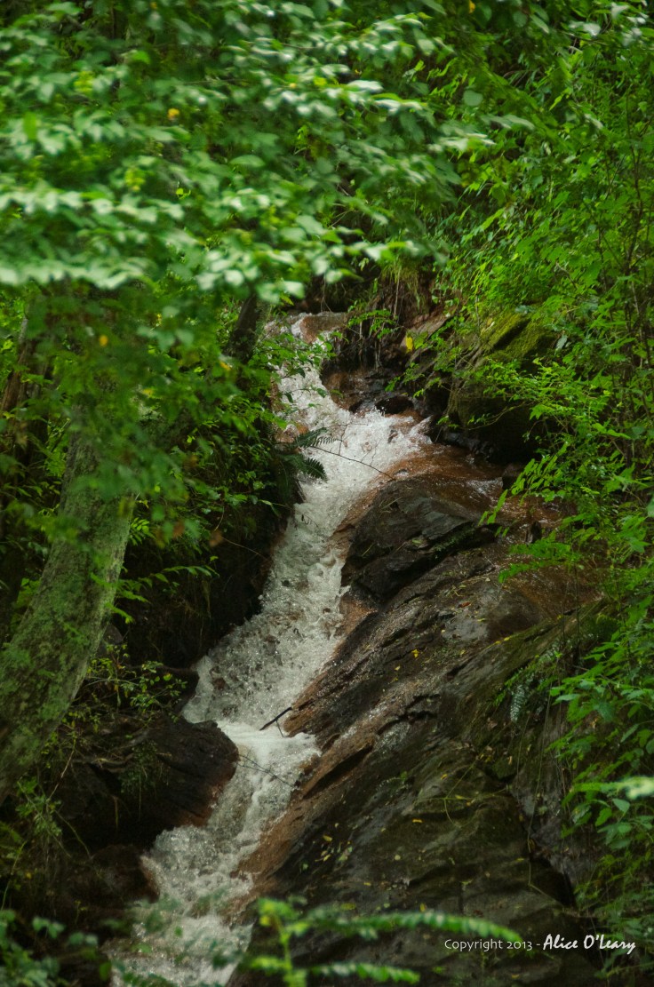
Here’s another view of the Cullasaja River. Yesterday’s post (#188 – Cold, Cold, Cold) showed a peaceful portion of the river but it is more renown for its remarkable series of waterfalls, there are four major falls on a relatively short span of river and all can be seen from the highway that runs between Highlands and Franklin. In fact, the Cullasaja River is solely contained in Macon County. It spills out of the mountains near Highlands and then empties into the Little Tennessee River near Franklin. Eventually the water makes its way to the Mississippi River after passing through the Little Tennessee, the Tennessee, and the Ohio Rivers.
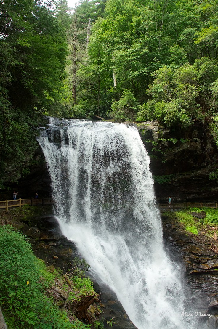
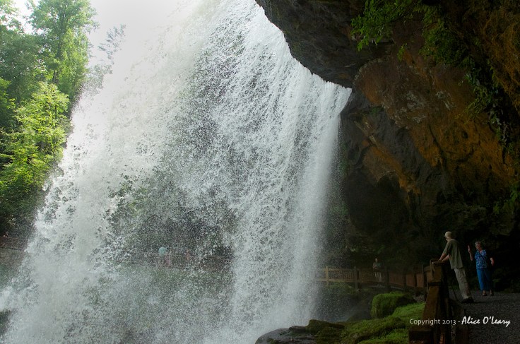
This post gives you two very different views of the rather oddly named Dry Falls. There is certainly plenty of water so I was unclear as to why it is called Dry Falls but learned it is because you can walk behind the falls and remain relatively dry — most of the time.
On Friday no one was walking under the falls. The ice was too severe, the way too treacherous. Quite a contrast to the second photo of the very same falls taken last July. People strolled leisurely under the falls in the warm summer day. ❧